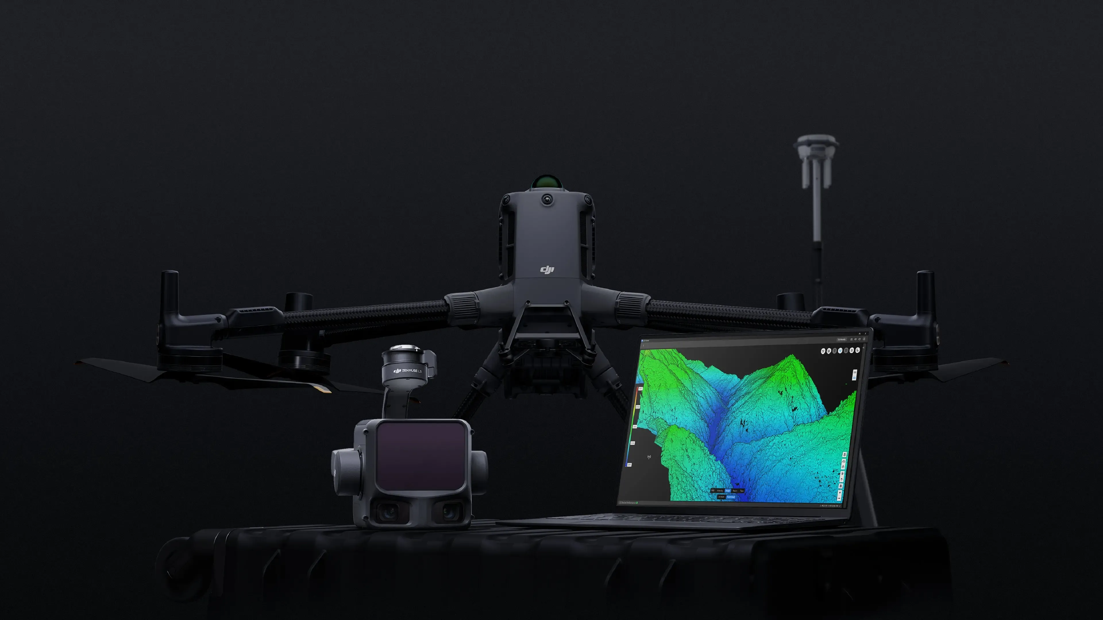
Drone LiDAR mapping nationwide
UAV topographic mapping and CAD-ready deliverables for construction, land development, and infrastructure.
FAA PART 107
OSHA 30
NFPA 70E
CPR / AED
FULLY INSURED
IN-HOUSE PROCESSING
0.6-1.0in
VERTICAL ACCURACY
45+ pts/ft²
POINT DENSITY
500acres/day
COVERAGE RATE
3-7days
PROJECT TURNAROUND
Coverage rate and point density vary with flight altitude, terrain, and the density the project requires.
Start with your project type
Each path below covers the deliverables, accuracy, and timeline that scope usually calls for. If your project crosses more than one, send us the scope and we will build the quote around it.
Construction and earthwork
Baseline topography before mobilization, progress surfaces through grading, and cut and fill quantities measured against your design surface. Recurring flights give project managers an independent record for pay applications.
Construction surveysLand development and design
Existing conditions for entitlement and preliminary design. Bare-earth terrain, contours at your interval, drainage surfaces, and DWG files that drop into Civil 3D on your project coordinate system.
Topographic surveysAsset and corridor inspection
Transmission corridors, solar and wind sites, bridges, and pipelines. High-resolution and radiometric thermal imagery for condition assessment, vegetation encroachment, and predictive maintenance.
Inspection servicesAs-built and planimetric mapping
Curb lines, pavement edges, building footprints, visible utility surface features, and tree locations drawn as CAD linework for design. Delivered as DWG on named layers, with or without a topographic survey.
See pricingOur rates are published. See pricing by project size.
Why choose us
Verified accuracy, deliverables in days, and coverage wherever the project is.
High accuracy
0.6 to 1.0 in (1.5 to 2.5 cm) vertical accuracy with RTK positioning and ground control, verified against independent checkpoints.
Fast turnaround
Most projects delivered within days, not weeks, so your team keeps moving.
Nationwide service
Serving clients across the United States, wherever your project is located.
Field experience
FAA Part 107 certified operations with twenty years of survey and construction data experience behind every project.
Industries we serve
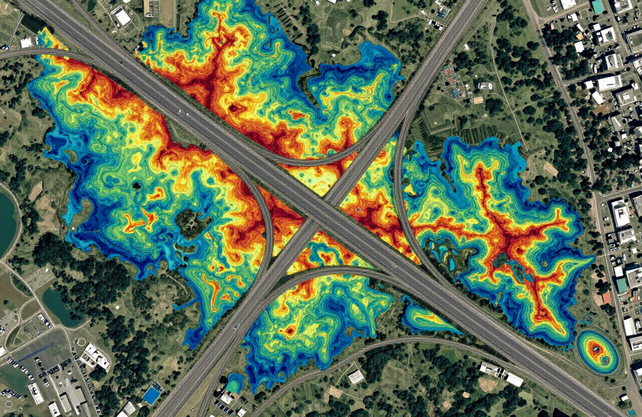
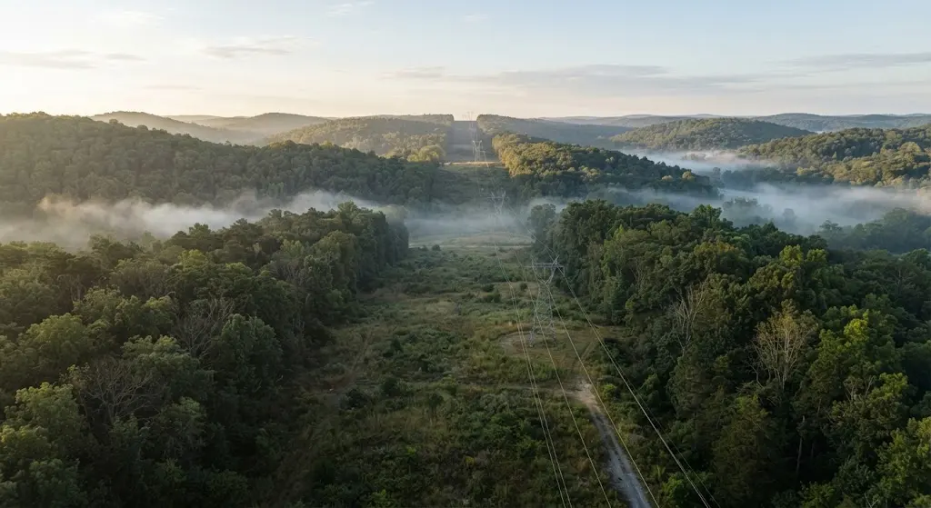
We deliver survey-grade data across construction sites and forest canopies, wherever your project is located.
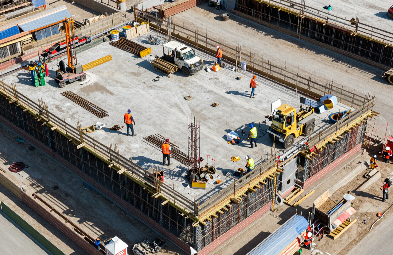
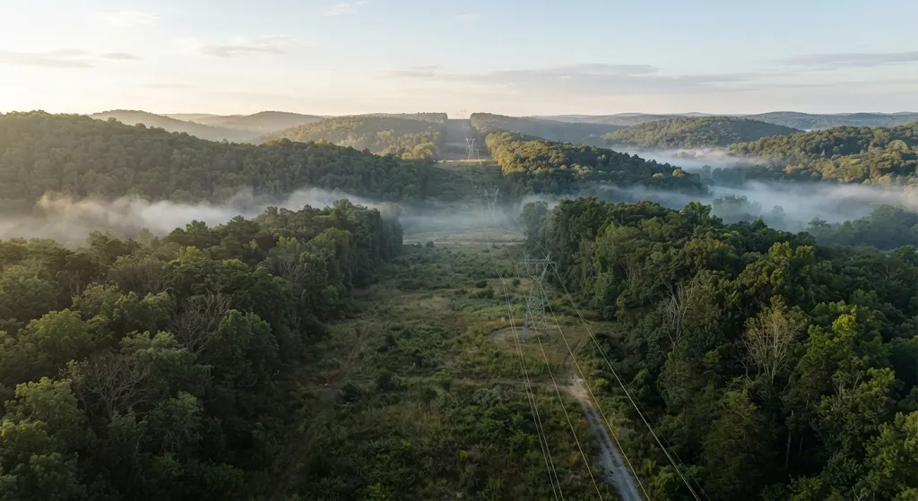
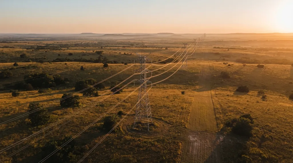
500
Acres in a single day
Varies by site conditions and project scope.
Better data. Safer sites. Fewer field days.
Verified accuracy
0.6 to 1.0 in (1.5 to 2.5 cm) vertical with RTK or PPK positioning, verified against independent checkpoints held back from processing.
Vegetation penetration
LiDAR pulses reach the ground through canopy where photogrammetry can't.
Safer site access
Keeps survey crews off unstable slopes, active haul roads, and hazardous terrain.
Rapid turnaround
Most sites flown in a day, with processed deliverables delivered by secure download link in 3 to 7 business days.
Two decades of field experience
Twenty years on survey and construction projects, from field collection and ground control through processing and CAD deliverables. We scope the work around what your engineers need, not around what is easy to fly.
A drone LiDAR survey company built around field experience
A drone LiDAR survey company scopes the project around the deliverable the engineer actually needs, flies the site with an RTK-positioned DJI Matrice 400 and Zenmuse L3 sensor, then processes the returns into a classified point cloud, a terrain model, and CAD-ready files. From the first ground control point through to the accuracy report, every step is built around producing a surface the design team can trust.
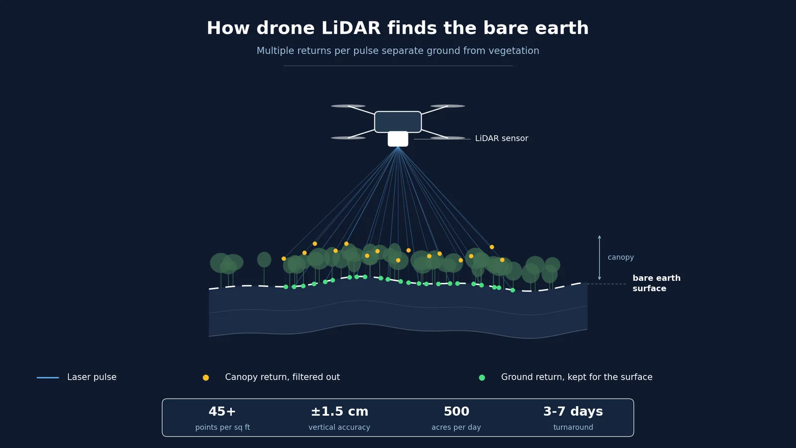
Aerial LiDAR surveying reaches bare earth that photogrammetry and a walking crew cannot. Laser pulses find the gaps between leaves and blades of grass, so the ground surface reflects true elevation rather than vegetation or canopy. That changes what a design surface can be built on, because the engineer is grading against real ground instead of a guessed surface smoothed over the top of the brush. LiDAR surveying works in any light and holds its accuracy across vegetated, steep, or difficult terrain where a ground crew would be slow or unsafe.
Our LiDAR survey services cover topographic mapping for preliminary design, construction earthwork and cut and fill quantities, stockpile volumes, corridor mapping along power lines and pipelines, and asset inspection. Most lidar survey companies split collection from processing and hand off a file someone else has to interpret. We hold both sides of the work, so the field plan and the delivered surface stay aligned from scoping through to delivery.
In the Southeast, a drone LiDAR survey in Georgia runs from Piedmont red clay subdivision grading to coastal plain pine and port-adjacent logistics sites, each with its own canopy and drainage problem.
What stands behind the work
The drone is the newest tool in a twenty year background on survey and construction projects, covering field data collection, ground control, processing, and CAD deliverables. What that background decides is not how the aircraft flies, but what the surface has to hold and what an engineer will do with it.
FAA Part 107
Remote Pilot Certificate under 14 CFR Part 107, the FAA rule that governs commercial drone operations in the United States. It covers airspace classification, weather, aircraft performance, and operating limitations. Where a site sits in controlled airspace, we file the authorization before the flight rather than on the day.
OSHA 30
The 30 hour construction safety course. It matters because an active site has a safety plan and a superintendent who has to approve anyone working on it. We arrive knowing how to work inside that plan rather than around it.
NFPA 70E
Electrical safety standard for working near energized equipment. Relevant on substation, transmission corridor, and industrial inspection work, where approach boundaries are not negotiable.
CPR and AED
First aid, CPR, and AED training. Most flights are routine. The point is being useful on the one that is not.
Fully insured
General liability and aviation coverage. Additional insured endorsements and certificates of insurance are available on request before mobilization, which is usually what a general contractor needs before anyone gets on site.
In-house processing
The same person who plans the flight sets the control, classifies the point cloud, and builds the surface. Nothing is handed to a broker or a third party processor. When a question comes back about a contour, a breakline, or a checkpoint residual, it is answered by the person who produced it.
Watch a flight
45 second look at a LiDAR flight in the field. The files your engineers open are listed below the player.
Classified point cloud, terrain and surface models, contours at your interval, and DWG surfaces for Civil 3D, delivered with the accuracy report in 3 to 7 business days.
Frequently asked questions
Clear answers about our drone LiDAR survey services, covering accuracy, timing, deliverables, and where this technology performs best.
- What is the difference between LiDAR surveying and traditional surveying?
LiDAR surveying collects millions of elevation points from the air in a single flight, while a ground crew collects individual shots on foot with total stations or GNSS rovers. LiDAR surveying is stronger for large or vegetated sites and for corridors, where covering the ground on foot would be slow or unsafe. Ground crews are stronger for boundary work, small flat sites, and anything requiring certification. The two are often used together on one project, with aerial data feeding the design surface and a surveyor of record handling the certified portions.
- What's the difference between LiDAR and drone photography?
Drone photography (photogrammetry) builds 3D models from overlapping photos, while LiDAR uses laser pulses to directly measure distances. LiDAR performs better in vegetated areas, works in any lighting condition, and delivers higher vertical accuracy.
- How accurate is drone LiDAR compared to traditional surveying?
Our drone LiDAR delivers 0.6 to 1.0 in (1.5 to 2.5 cm) vertical accuracy with RTK positioning and ground control. This sub-inch precision is sufficient for most construction, engineering, and site development projects, at a fraction of the time and cost of traditional ground surveys.
- How long does a LiDAR survey take?
Most projects are delivered within 3-7 business days, depending on site size, terrain complexity, and deliverable requirements.
- What size projects are best suited for LiDAR?
LiDAR is most cost-effective for sites 25 acres and larger, though we handle projects of any size when LiDAR's specific advantages (vegetation penetration, speed, safety) are needed.
- What file formats do you deliver?
We deliver in DWG format by default, with LAS, DXF, and PDF available on request, compatible with AutoCAD, Civil 3D, and other industry-standard software.
- Can LiDAR really see through trees?
LiDAR pulses find gaps between leaves and branches rather than passing through them directly. In moderate vegetation, a high percentage of pulses reach the ground, allowing us to capture accurate bare-earth terrain even under tree canopy. The same principle applies to grass and low ground cover. Laser pulses penetrate between blades of grass to detect the Natural Ground Level (NGL), giving you accurate elevation data even on grassy or vegetated sites.
- What drone and payload does LiDAR Survey 3D use?
We fly the DJI Matrice 400 drone platform for both survey and inspection work. For LiDAR survey and mapping, it carries the DJI Zenmuse L3 LiDAR payload, an enterprise LiDAR system capable of long-range detection and high-density point cloud capture for survey-grade accuracy. For inspection work, the same Matrice 400 platform carries the DJI Zenmuse H30T thermal and zoom imaging payload, used for solar farm, power line, infrastructure, and thermal predictive maintenance inspections.
- How accurate is the DJI Zenmuse L3 for LiDAR surveys?
- The Zenmuse L3 delivers 0.6 to 1.0 in (1.5 to 2.5 cm) vertical accuracy when flown with RTK positioning and ground control under good conditions, with detection range up to 3,100 ft and multi-return capability that penetrates vegetation and grass to capture accurate Natural Ground Level data. Real accuracy on any project depends on terrain, canopy density, flight altitude, and the quality of the ground control, and we report the figure achieved with each delivery. For more on what a LiDAR survey is and how it works, see our guide.
- Why does LiDAR Survey 3D use the DJI Matrice 400 instead of other drones?
The DJI Matrice 400 offers extended flight time, RTK/PPK integration for precise georeferencing, and enterprise-grade payload capacity, allowing us to cover large areas quickly (up to 500 acres per day) while maintaining the highest accuracy standards for construction, land development, and site development projects.
- Do you use RTK for survey-grade accuracy?
Yes. The DJI Matrice 400 uses RTK (Real-Time Kinematic) positioning with a ground base station. This gives us sub-inch accuracy in real time during flight, rather than relying on standard GPS alone, which is typically only accurate to roughly 10 feet (a few meters). RTK is essential for delivering survey-grade data that engineers and designers can trust for construction, grading, and site development projects.
- What ground control equipment do you use?
We set an Emlid Reach RS2 multi-band GNSS receiver as a base over the site. It feeds RTK corrections to the aircraft during the flight and logs raw observations for PPK processing where cell coverage is poor. The same receiver establishes the ground control points and the independent checkpoints we hold back from processing, so the accuracy we report on delivery is measured against points the surface was not fitted to. We tie to your project control when it already exists, and to NAD83 horizontal and NAVD88 vertical when it does not.
- What is PPM in RTK GNSS accuracy, and how does distance from the base station affect precision?
PPM stands for "Parts Per Million," a unit used to describe how positioning accuracy degrades with distance from the RTK base station. In specifications such as "0.39 in (1 cm) + 1 ppm," the fixed value (0.39 in, or 1 cm) represents the baseline accuracy near the base station, while the ppm component adds 0.04 in (1 mm) of error for every 0.6 mi (1 km) of distance between the aircraft and the base station.
- Do you serve the Midwest?
- Kansas City and St. Louis in Missouri, Wichita and Overland Park in Kansas, and Indianapolis and Fort Wayne in Indiana. We are based in the Kansas City metro, so Missouri and Kansas projects get same-day mobilization with no travel charges. Shallow limestone bedrock across the metro drives rock excavation cost, which makes accurate pre-bid earthwork quantities valuable. Missouri River floodplain work around St. Louis depends on tight vertical control for drainage design.
- Do you serve Texas and the South Central states?
- Dallas-Fort Worth, Houston, Austin, San Antonio, and the Permian Basin around Midland and Odessa. Blackland Prairie expansive clays through DFW make subgrade and drainage design depend on an accurate surface. Houston's low relief means detention pond volumetrics and sheet flow analysis turn on centimeter-level vertical accuracy. Edwards Plateau limestone and dense ashe juniper canopy around Austin make multi-return classification the technical constraint. Permian well pad and gathering line corridors need corridor mapping tied to a consistent vertical datum. Texas spans five State Plane zones on NAD83, and we confirm the zone and vertical datum before mobilizing.
- Do you serve the Southeast?
- Atlanta and Savannah in Georgia, Miami, Orlando and Tampa in Florida, and Charlotte and Raleigh in North Carolina. Florida's low relief and karst geology make stormwater design depend on a clean bare-earth surface. Piedmont residual soils and rolling terrain run through Atlanta and Charlotte. Heavy canopy across the Southeast makes ground point density the limiting factor on contour quality.
- Do you serve the West and Southwest?
- Los Angeles, the San Francisco Bay Area and San Diego in California, Las Vegas and Reno in Nevada, and Denver and Colorado Springs in Colorado. California hillside grading makes slope stability and setback analysis depend on dense breaklines. Nevada's alluvial fan terrain and rapid residential expansion push flight planning toward consistent ground point density across steep, shifting surfaces. Colorado front range elevation change means flight planning has to hold consistent point density across steep ground.
- Do you serve the Northeast?
- New York City, Buffalo and Albany in New York. Constrained urban infill sites come with limited launch points and dense controlled airspace. We mobilize from Kansas City with travel built into the quote.
- What if my project is in a state you do not list?
We fly nationwide. Travel and mobilization are itemized in the quote so the full cost is visible before you commit. If a project is outside what we can deliver well, we will say so directly rather than take the work.
- Are you insured, and can you add us as additional insured?
Yes. We are fully insured, with certificates of insurance and additional insured endorsements available on request. If your project requires higher limits or additional coverage, tell us during scoping and we will arrange it and include the cost in the quote.
- Do you provide certified survey documents?
No. We collect and process aerial LiDAR data and deliver point clouds, terrain models, contours, and CAD surfaces. Certified survey documents are produced by the client's surveyor. Our data is what they build on. If a project requires certification, tell us early and we will scope our part around it.
- How do you establish position and verify accuracy on a project?
We set a GNSS base station on site and determine its position by one of two methods, depending on site conditions. Where cellular coverage allows, we take the base position from NTRIP corrections off a reference network. Where coverage is poor or the site is remote, we log the base and resolve its position by PPK after the flight. Either way the base is tied to a known coordinate framework rather than an assumed position.
The base then broadcasts RTK corrections to the aircraft over radio during the flight, so every laser pulse is positioned in real time against that framework.
We also set ground control points across the site and record each one with the rover. A portion of those points is held back as independent checkpoints that are not used in processing, so the final surface is compared against positions the adjustment never saw. Vertical and horizontal residuals at each checkpoint are recorded and reported with the deliverables.
We deliver in whatever coordinate system your project runs on. Our default is NAD83 horizontal in the State Plane zone for your area with NAVD88 vertical, but if your drawings are on a different datum, a local grid, or a site calibration set by another surveyor, we tie our collection to it and deliver in that framework. On projects with a surveyor already on site, we work from their control so our data drops straight into the existing drawing set with no transformation on your end.
- Is drone LiDAR data accurate enough for engineering design?
Yes, when the sensor is matched to the site and the data is controlled from the first flight to the final surface. We deliver 0.6 to 1.0 in (1.5 to 2.5 cm) vertical accuracy with RTK positioning and ground control, verified against independent checkpoints held out of the adjustment. Drone survey accuracy is produced by the control plan, not by the sensor alone, and the residuals are reported with every deliverable so an engineer can check the number rather than take it on trust.
- When is photogrammetry the better choice instead of LiDAR?
Photogrammetry is often the better choice on open ground with no vegetation, such as a bare pad, an open pit, or a stockpile yard, where a camera sees the surface directly and the cost per acre is lower. Photogrammetry accuracy on bare ground can match LiDAR, which is why the LiDAR vs photogrammetry choice turns on what stands between the sensor and the ground. We will tell a client when photogrammetry would serve the project, rather than selling the more expensive tool by default.
Not all drones or LiDAR sensors can achieve accurate Natural Ground Level detection. It requires high multi-return capability and precision sensors. At LiDAR Survey 3D, we use the DJI Matrice 400 with the Zenmuse L3 LiDAR payload, specifically capable of penetrating vegetation and grass to deliver accurate NGL data for your project.
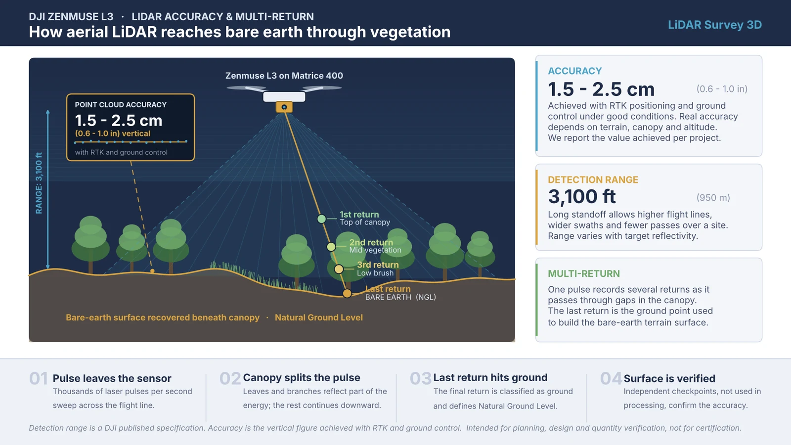
Multi-return LiDAR through canopy. Detection range is a DJI published specification.
| Distance from Base Station | Horizontal Accuracy | Vertical Accuracy |
|---|---|---|
| At base station | 0.4 in (1 cm) | 0.6 in (1.5 cm) |
| 0.6 mi (1 km) | 0.4 in (1.1 cm) | 0.6 in (1.6 cm) |
| 3.1 mi (5 km) | 0.6 in (1.5 cm) | 0.8 in (2.0 cm) |
| 6.2 mi (10 km) | 0.8 in (2.0 cm) | 1.0 in (2.5 cm) |
These figures describe GNSS positioning accuracy only. Final surface accuracy also depends on terrain, canopy density, flight altitude, and ground control, which is why we report 0.6 to 1.0 in (1.5 to 2.5 cm) as the delivered vertical range.
For survey-grade and mapping operations, keeping the RTK base station within a reasonable range of the aircraft gives the highest possible positioning accuracy. As distance increases, the ppm factor gradually reduces precision, which is why we typically maintain base stations within roughly two to three miles (a few kilometers), of the flight area whenever sub-inch accuracy is required for your project.
Get a free quote
Ready to start your LiDAR survey project? Contact us today for a free consultation and quote.
Based in Kansas City, working nationwide
The Kansas City metro is our base. Most Missouri and Kansas work sits inside a day's drive, and we mobilize to sites in every other state.
Travel and mobilization are itemized in the quote before you commit, so a project two states away is priced the same way as one across town.
States we serve
- Arizona
- California
- Colorado
- Florida
- Georgia
- Indiana
- Kansas
- Michigan
- Minnesota
- Missouri
- Nevada
- New York
- North Carolina
- Texas
- Washington
These are the states with dedicated service pages. We fly in all fifty.